PROGETTI AEDIT

Innovazione
in campo.

Ricerca applicata, strumenti digitali e cooperazione per agricoltura, ambiente e territorio.

39progetti
Weather data management

Weather data management

ACARISS

ACARISS project – Increasing the knowledge on environment and pollution risks involving schools in experimental activities – was aimed to make science learning more enjoyable and creating a link between schools and researchers. Aedit, as subcontractor of Scuola Superiore Sant’Anna, has developed the web -site and the system to exchange data, ideas and experiments.Scopri il progetto
Environment

Environment

Raeevolution tools

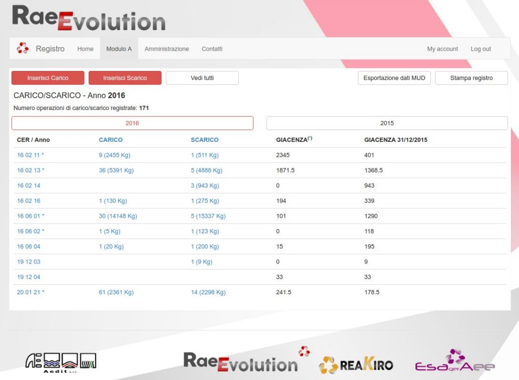
AEDIT developed a suite of applications to manage different aspect of the waste management: register of material loaded and unloaded, management of the “Uno contro uno” and “Uno contro zero”, management of the manufacturer.Scopri il progetto
Environment

Environment

Raeevolution

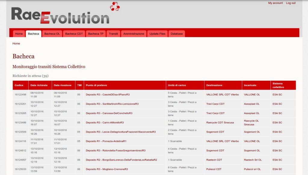
Development of  a database and website to allow the Collective Schemas to manage all the logistic information of the WEEE: from the collection request up to the final destination.Scopri il progetto
Environment

Environment

Climasouth

In collaboration with Agriconsulting Aedit developed an institutional website for the climate change mitigation and adaptation in 9 South Mediterranean countries.Scopri il progetto
webGIS

webGIS

ELMT/ELSE

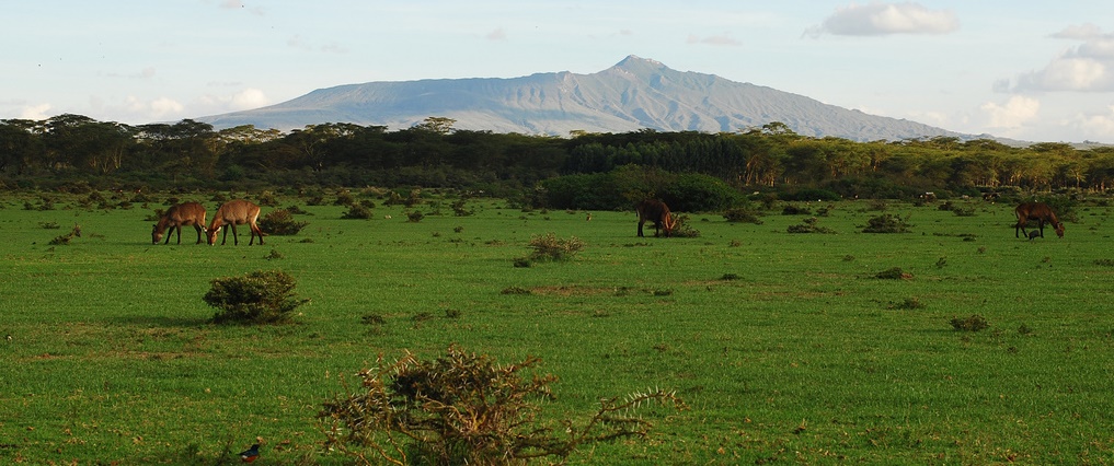
Creation of a geo-database and WebGIS to support the monitoring of  “Enhanced Livelihoods in the Mandera Triangle” (Kenya, Somalia Ethiopia) USAID founded project; designing of a geo-database to collect data about agro-pastoral systems.Scopri il progetto
Environment

Environment

DEMETRA Life

Development of the website and document database for the LIFE program project “DEMETRA” with the aim of defining an innovative methodology for the assessment of risks linked with the presence of transgenic crops.Scopri il progetto
Weather data management

Weather data management

CLARINO

The aim of CLARINO was to provide an overview at regional level (Tuscany) of the climate change impacts for the next few decades on agriculture, forestry and zootechny. The economic evaluation of the costs that the community have to support to offset these impacts was carried out.Scopri il progetto
Water

Water

Canale Lunense

Development of a Geographical Information System for land evaluation and cadastrial data management for “Consorzio di Bonifica ed Irrigazione del Canale Lunense” (Drainage and Irrigation Consortium) – La Spezia (Italy).Scopri il progetto
Water

Water

WellFIR

Development of a Web-based Geographical Information System in the Project “Serial WellFir”, financed by European Union LIFE Programe. Development of a monitoring network of water quality.Scopri il progetto
DSS - Decision Support System

DSS - Decision Support System

Irriga

Decision Support System for farmers to estimate water requirements for the most important crop in Tuscany. The DSS is based on a meteorological data set and on crop phenological and physiological parameters.  Scopri il progetto